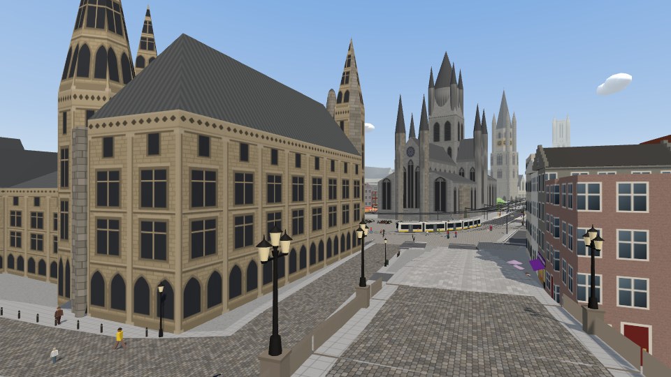
The real Ghent
About 40,000 buildings from OpenStreetMap, each at its measured height. The Belfry stands 95 metres tall; the Gravensteen, Stadshal and St Bavo's are drawn to measure.
 Instant Gent
Explore or race by bike, on foot or on horseback through the city of Artevelde!
All of Ghent in 3D, every building at its real height. Free in your browser, nothing to install.
Free · no account · works on PC, tablet and phone
Also an app for iPhone and iPad: App Store
Or in virtual reality with a VR headset: vr.instantgent.be
This is an experiment vibe-coded with love by Wouter & Julia using Claude Opus, OpenAI Sol, three.js, OpenStreetMap, Mapillary and Gent Open Data.
About 40,000 buildings from OpenStreetMap, each at its measured height. The Belfry stands 95 metres tall; the Gravensteen, Stadshal and St Bavo's are drawn to measure.
Ride or race a bike, run on foot or gallop on a horse. Or pick a cow, tiger, pig or unicorn. Everyone is equally fast and strong.
Four short missions, from the stolen Ghent Altarpiece to student zombies in the Overpoort.
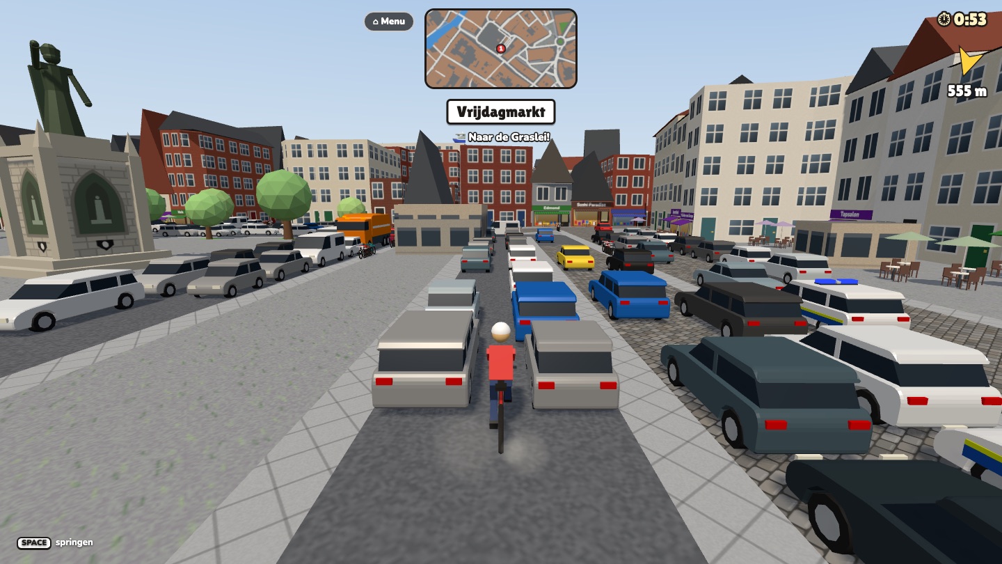
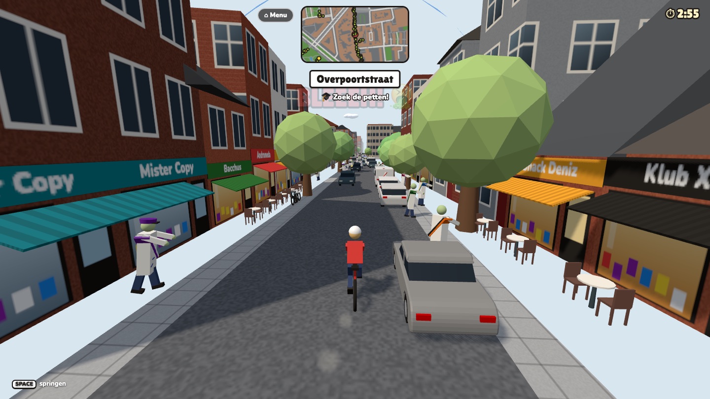
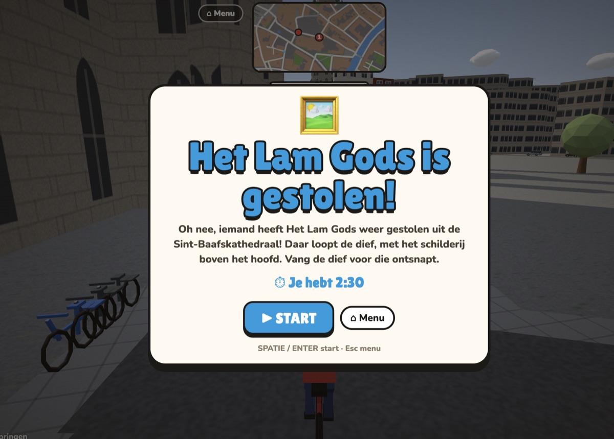
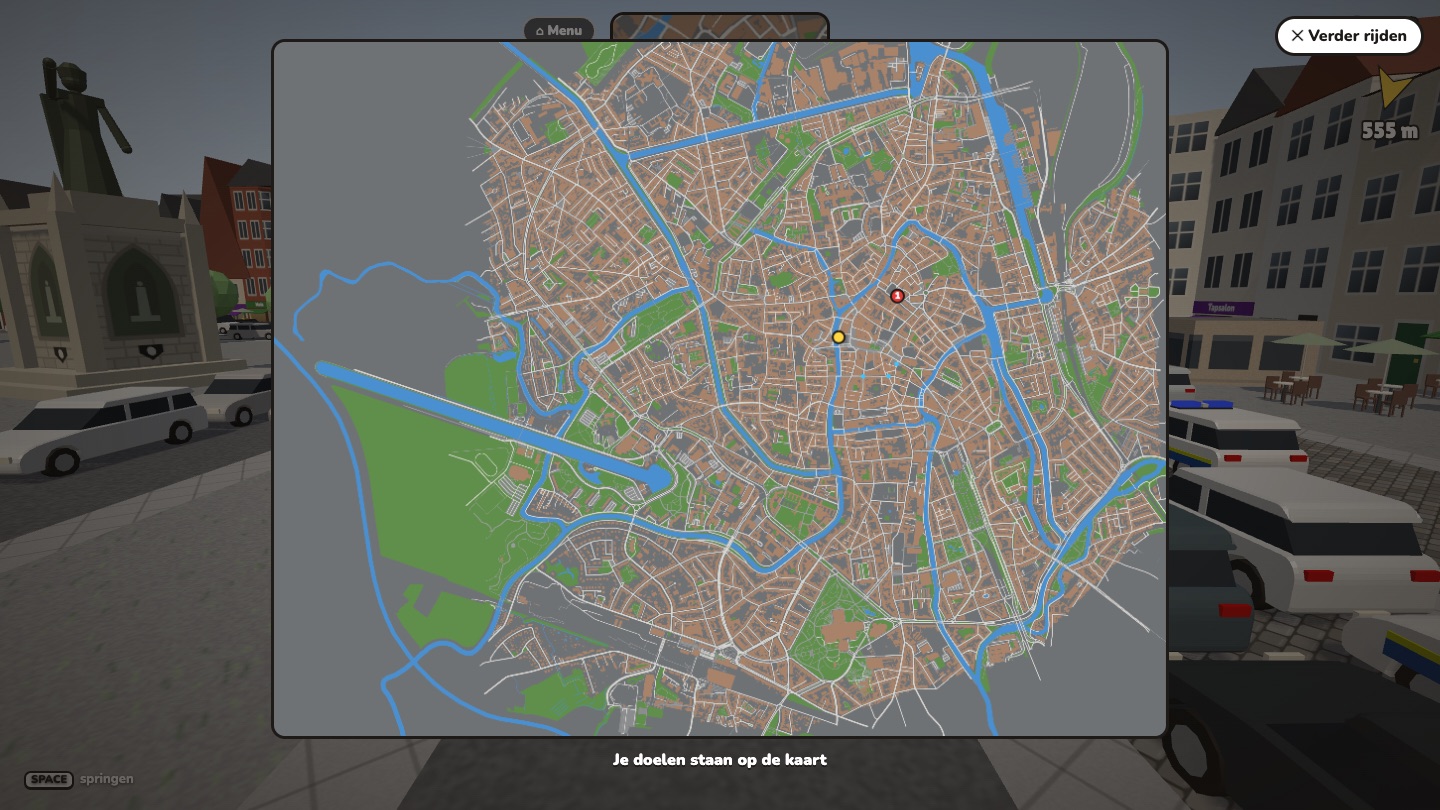
From the Gravensteen to the Belfry: the places not to miss, and what there is to see.
Restaurants and cafés in the centre, from a cone of fries to a chef's tasting menu.
Every street, square, quay and bridge inside the ring road, from A to Z.
Schools and university, childcare, the library and the hospitals, on the map.
Still in development: expect some rough edges.
Ever heard of Ghent Theft Auto? Also Ghent in 3D, but a very different project: how they differ (in Dutch).